USDA Forest Services Silvermine Retracement Survey in Hot Springs, North Carolina
Government SURVEY
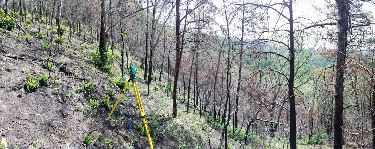
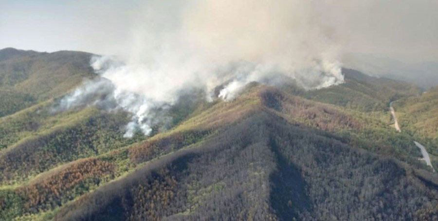
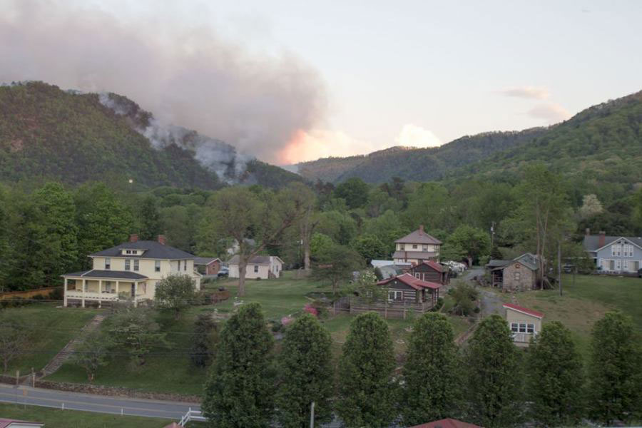
In April of 2016, a human-caused fire burned a large portion the Silver Mine Tract of the United States Forest Service (USFS) land near Hot Springs in Madison County. The fire also affected a portion of the Appalachian Trail which was closed for a period after the fire.
The fire took 13 days to contain in its entirety. The fire quickly grew from 2,500 acres to the final extent of 5,964 acres. Rain helped fight the fire and firefighters conducted burn-out operations to secure containment lines during much of the fire’s lifespan.
Firefighters with the USFS, North Carolina Forest Service, local Volunteer Fire Departments, and North Carolina Emergency Management assisted in suppression of the fire. At the height of firefighting efforts, there were 179 personnel on the ground, including crews from all over the Southeast and as far away as Arizona.
After the fire, the fire crews worked closely with USFS Resource Advisors to assess the area. They worked to try to quickly reduce or eliminate the risk of erosion and sedimentation resulting from fire suppression activities such as fire lines, reopened roads, and other disturbance.
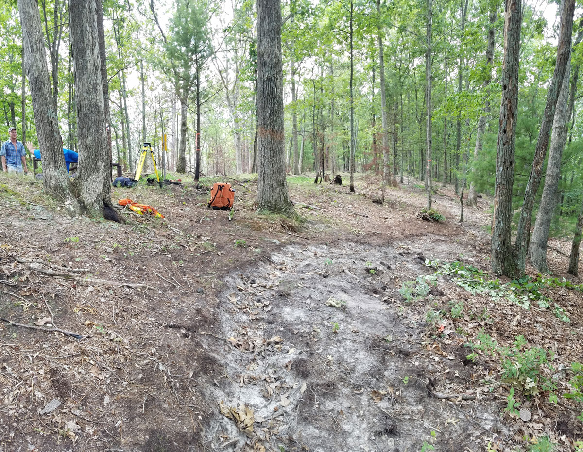
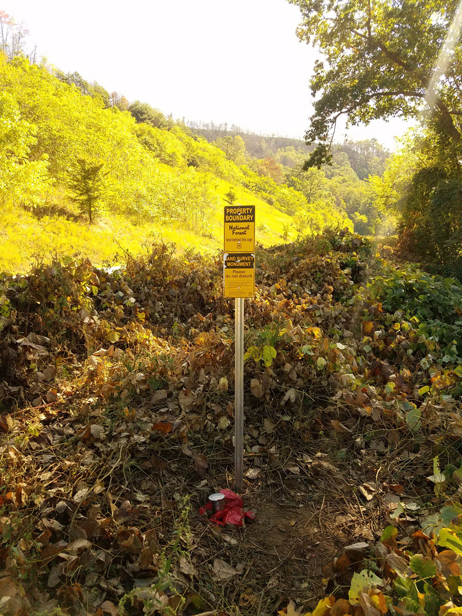
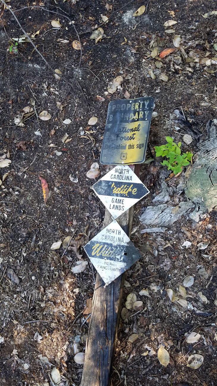
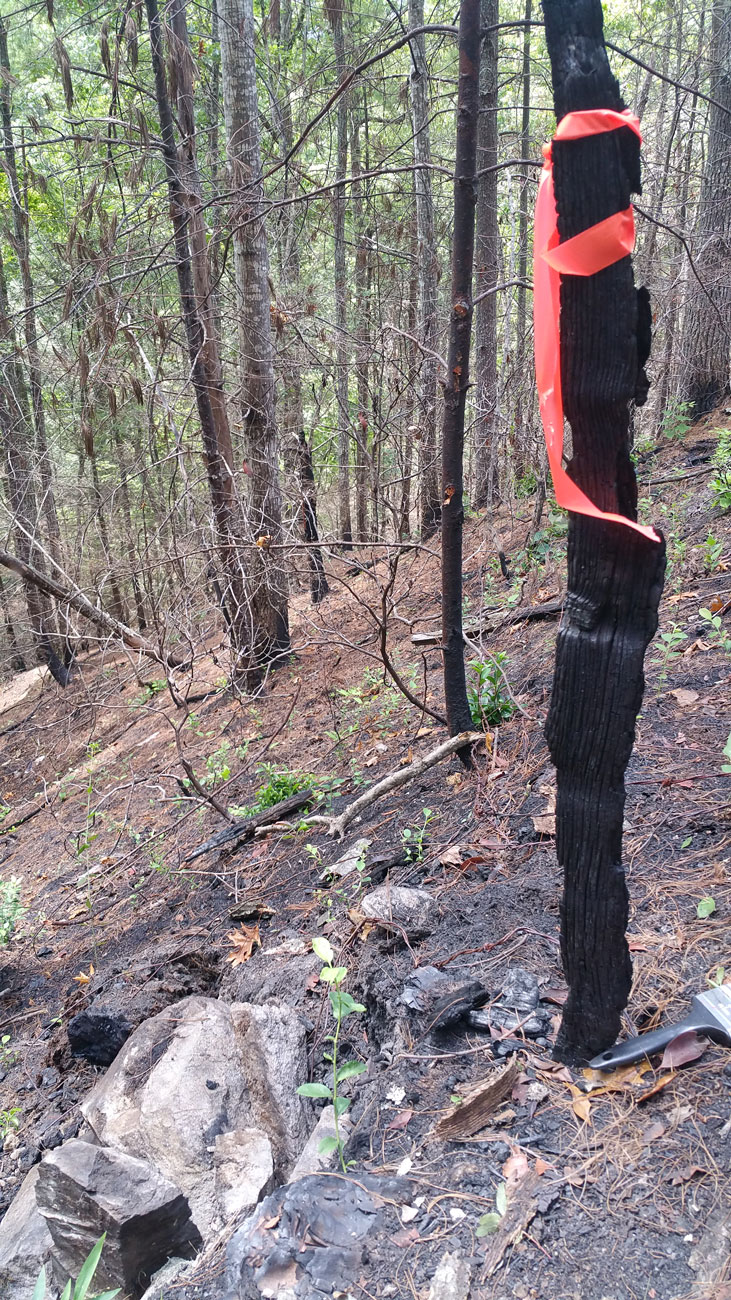
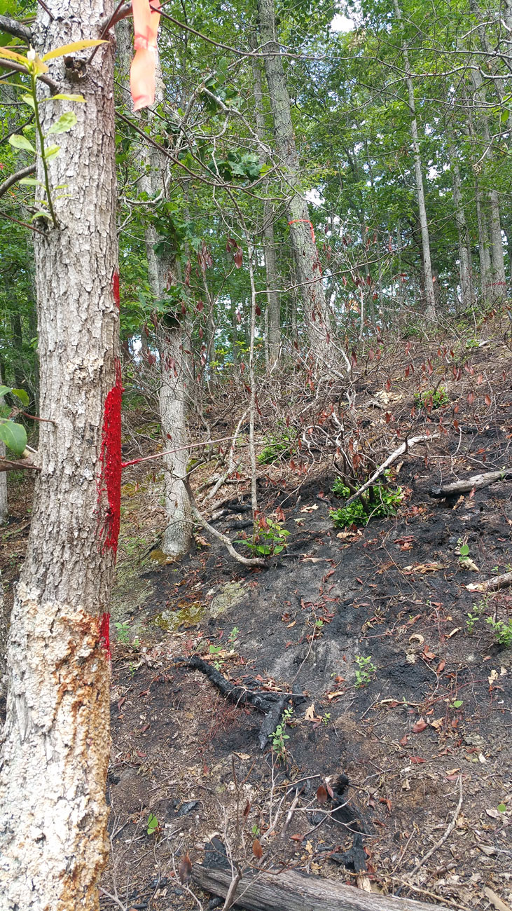
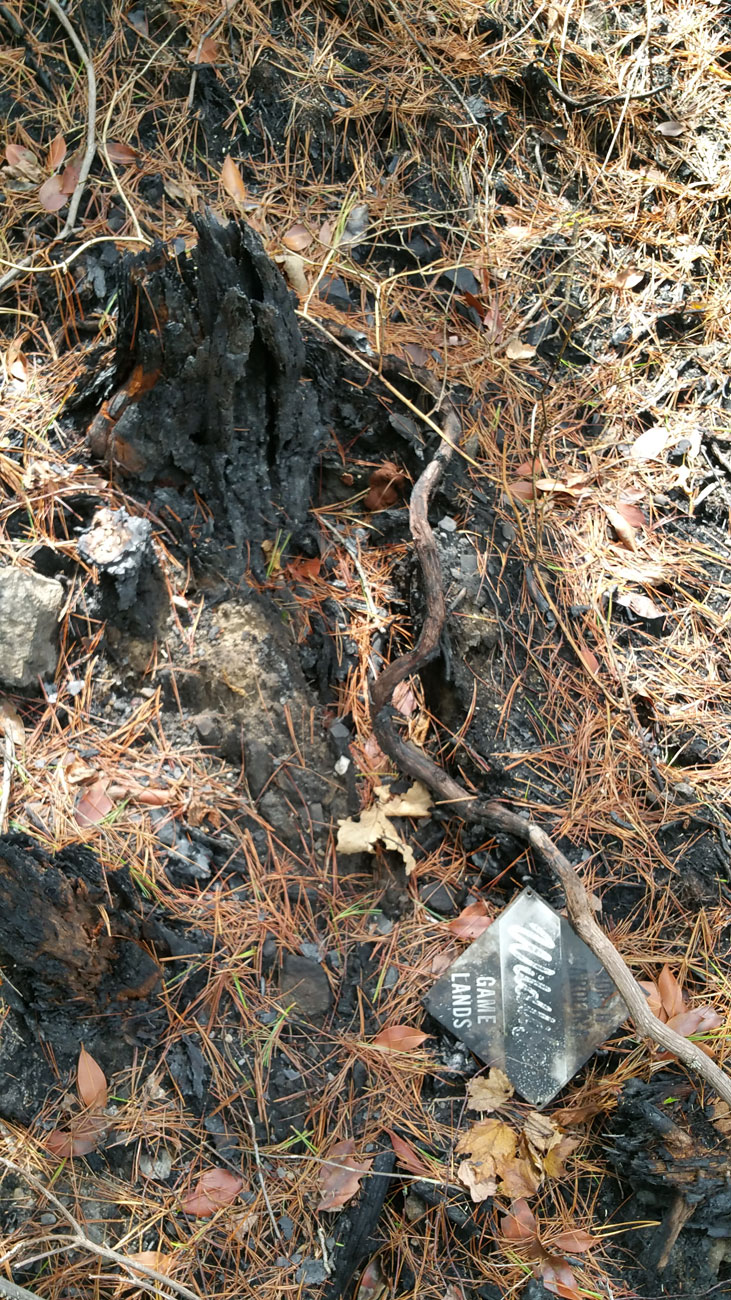
Following the containment of the fire and the assessment, the USFS hired Cole Surveying & Design (CSD) to do a government survey for the area in order to re-establish boundary lines and monuments that had been obliterated during the fire. CSD surveyed, marked and signed 1.78 miles of boundary lines. In addition, CSD verified and perpetuated property corners and bearing trees. The surveying was completed on an accelerated schedule due to the devastation caused by the forest fire and the need to get boundaries and monuments back on the ground quickly.