The Benefits of UAV Aerial Photography
Compared to traditional aircraft, operating an UAV (unmanned aerial vehicle) “Drone” to carry out mapping tasks is much easier to coordinate, more efficient and more cost effective. UAVs collect aerial high-resolution images that are then processed with photogrammetry software. Coupled with precise GPS-derived ground control points, Cole Surveying & Design can create near real-time orthophotos that are geospatially correct. In other words, a highly detailed photo that can be used to measure accurate dimensions.
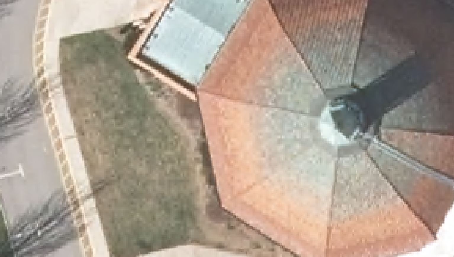
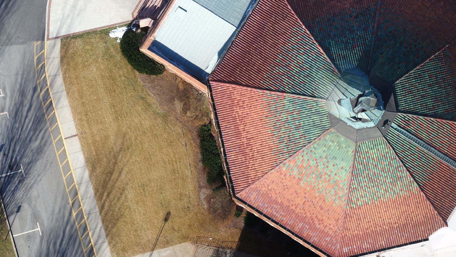
Aerial photography via UAV is a versatile and fresh approach. Other aerial photo resources including, NC One and Google Maps, can be an effective tool, but the quality and accuracy are inadequate to truly assist in design or construction. The images are lower-quality, unclear and sometimes outdated. With UAV/Drone aerial imagery, Cole Surveying & Design can create premium-quality images and real-time accuracy and content. We show our client’s buildings and the landscape as they are in their current state, not as they were months or even years ago.
Traditionally, survey data of a construction or urban development site is collected by a ground based, manned survey team. With the advent of new technology, we are now able to utilize a UAV/Drone as another tool to aid in mapping. The ability to deploy rapidly, collect real time information and survey areas that might be otherwise dangerous to access are some of the advantages of aerial surveying. In addition, surveys conducted by our drones are even more effective because Cole Surveying & Design can integrate our eyes in the sky with surveying and mapping software.
Here are some ways the information and analysis provided by mapping systems are helping Cole Surveying & Design utilize our UAV services to reach new heights of accuracy and efficiency in the surveying industry.
Construction
The construction industry greatly benefits from drone mapping. Cole Surveying & Design’s maps can be used to regularly update clients in the construction industry on the progress of their projects, analyze quantities stockpiles of raw materials, such as dirt and gravel, or even generate 3D models of construction sites. These maps help construction managers obtain the “big picture” and assist in strategic decision making.
Surveying
Cole Surveying & Design can create a highly accurate map with photogrammetry that can easily be turned into a 3D topographic map with contour data—a process that used to be extremely tedious. With their expertise and the possession of high-quality equipment like RTK GPS units, Cole Surveying & Design can produce extremely accurate, high-resolution, almost real-time maps for their clients.
Inspection
Drone pilots primarily use cameras to visually inspect equipment, but photogrammetry can also assist in inspection. Drones can help create a detailed map of a roof. This eliminates the need for personnel to be put in potentially dangerous situations.
Please take a moment to click the button below to see how Cole Surveying & Design’s drone imagery has the ability to show incredible details of your next project. This is a comparison of our imagery versus what is currently available via Google Earth or NC One Map.